SCCo BBS Coverage Maps
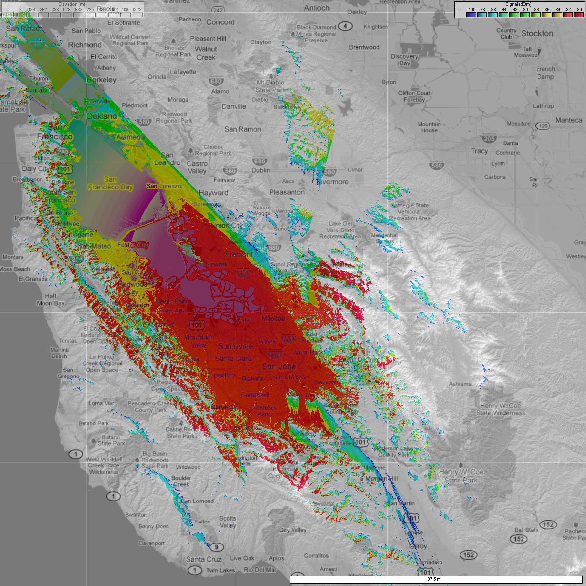
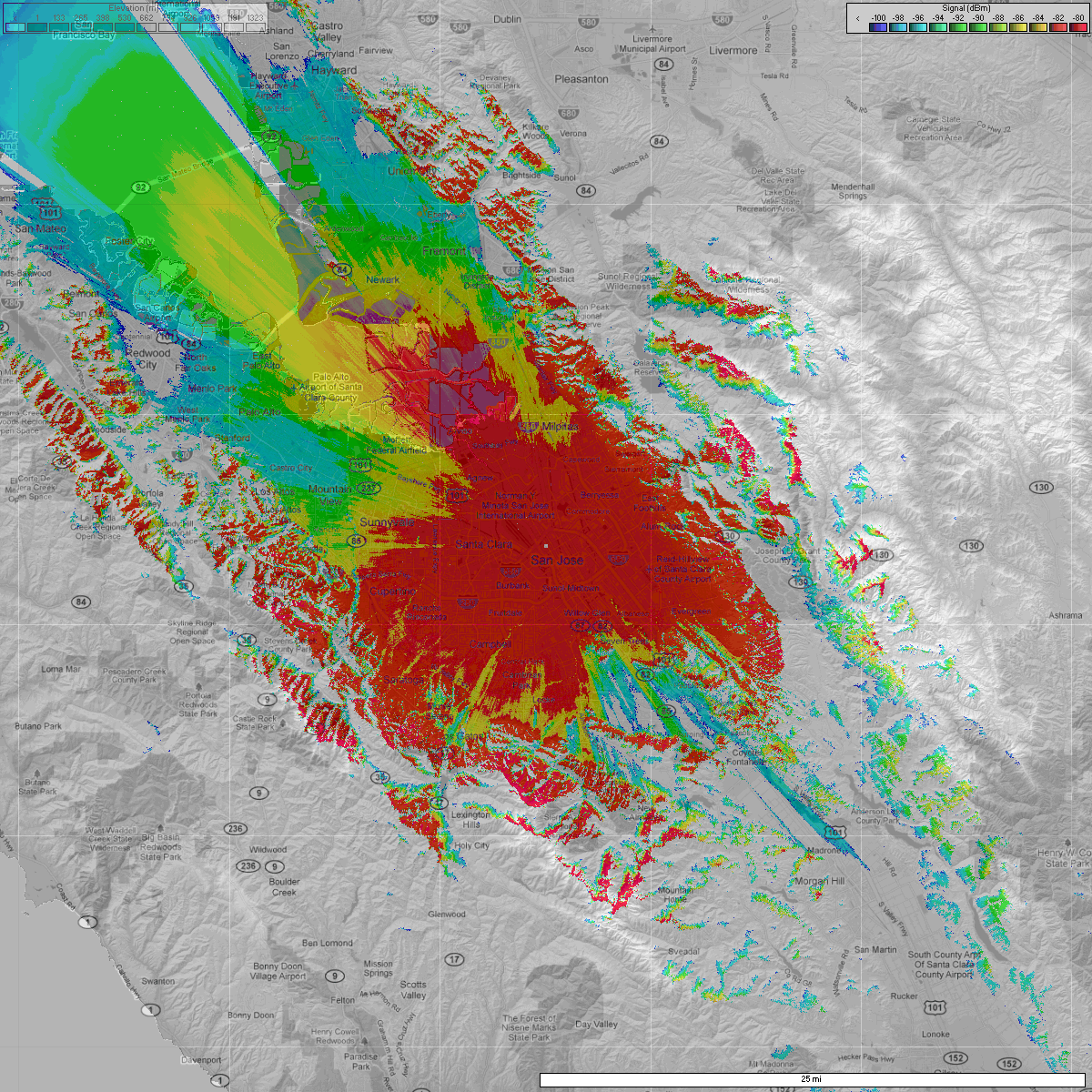
W1XSC Coverage
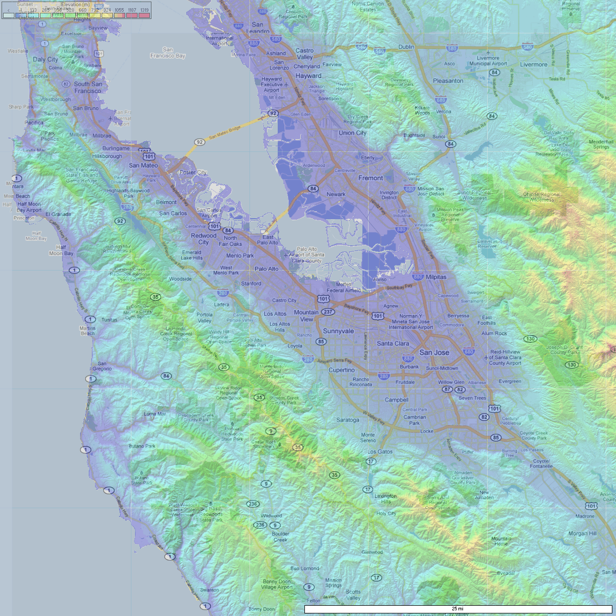
W1XSC is located on top of the Santa Clara County office building in downtown San Jose. Its good coverage extends east and west to the foothills, north to Sunnyvale and Milpitas, and south to the Evergreen area. Click the maps for higher resolution.
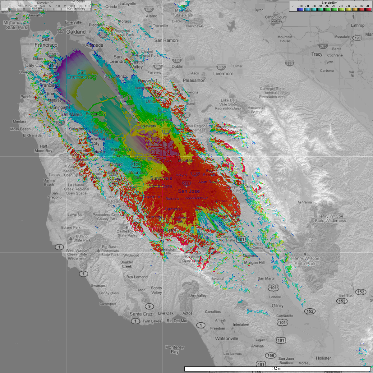
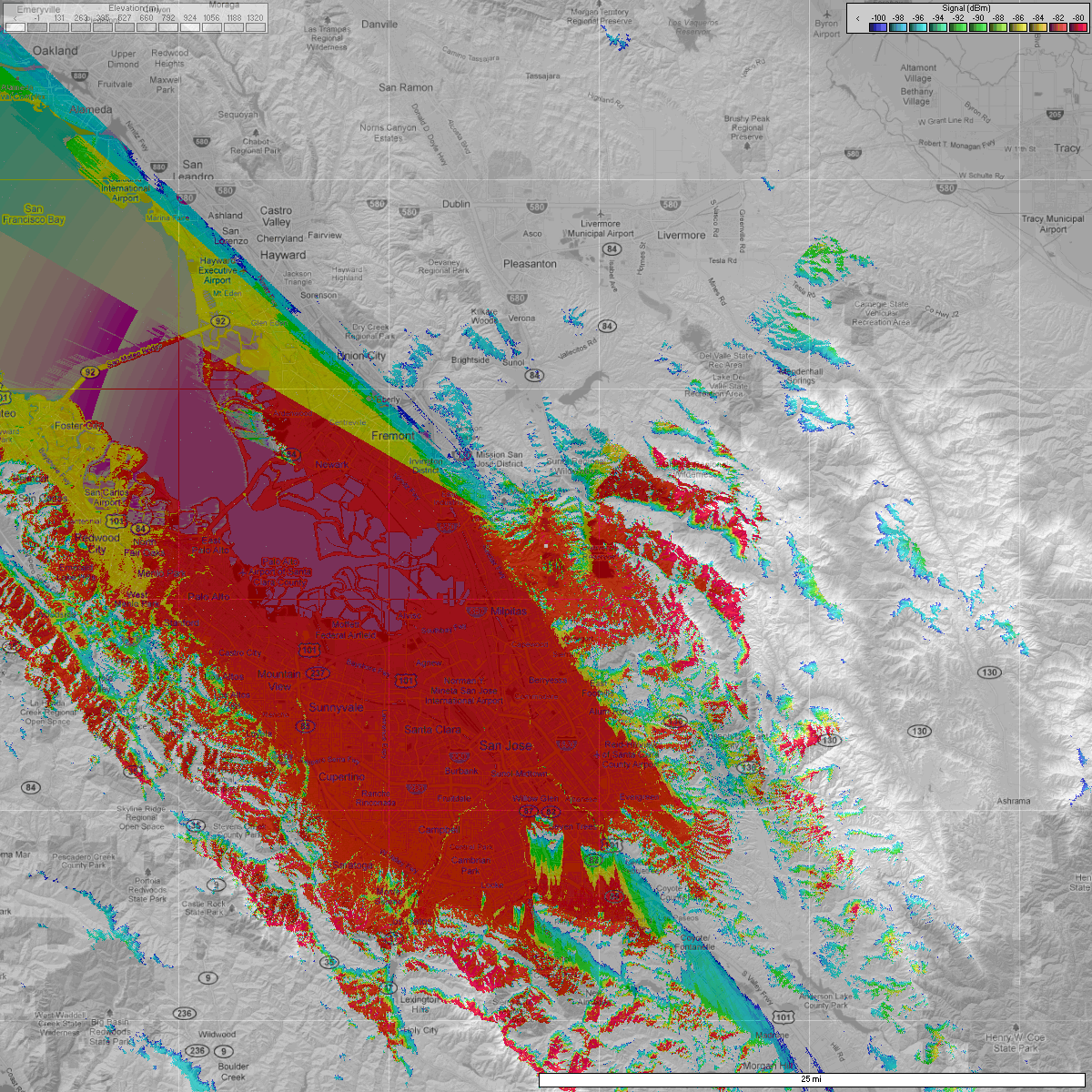
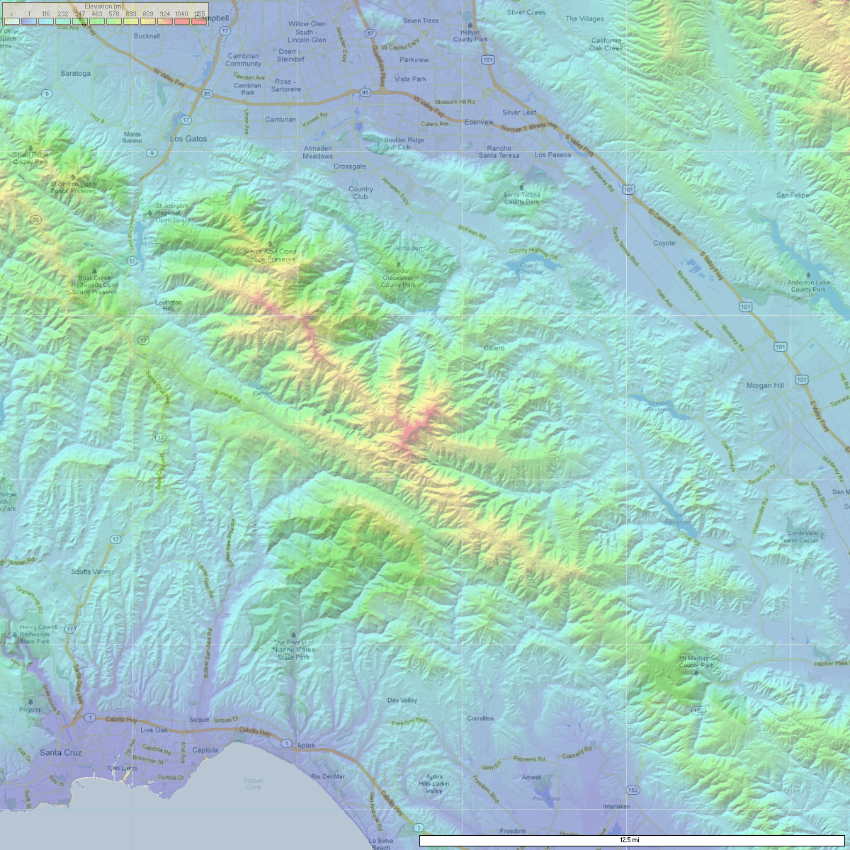
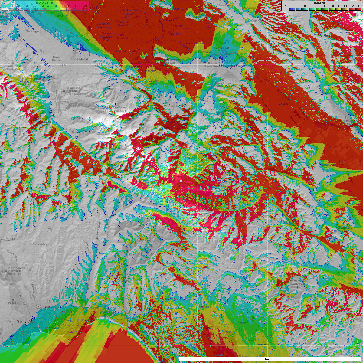
W2XSC Coverage
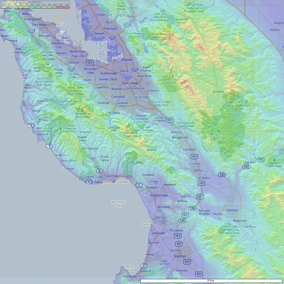
W2XSC is located on Crystal Peak in the Santa Cruz Mountains, west of Morgan Hill and northeast of Santa Cruz. It has good coverage in the flat areas of the Santa Clara Valley north to Sunnyvale and Milpitas, except those against the western foothills. It also has good coverage along the 101 corridor south to Gilroy, with weaker coverage south to Hollister. (It also has good coverage in the Watsonville area and in the offshore Monterey Bay.) Click the maps for higher resolution.

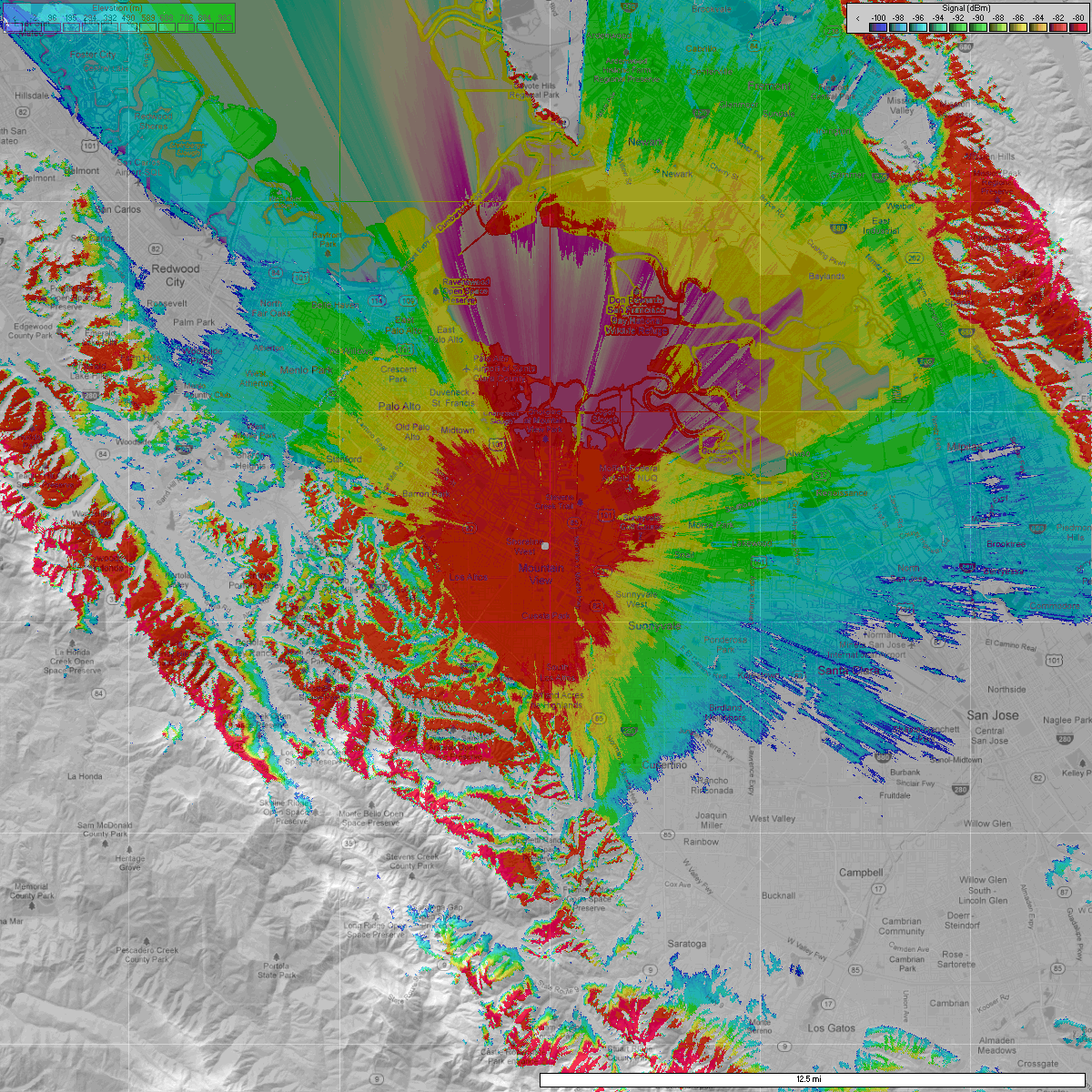
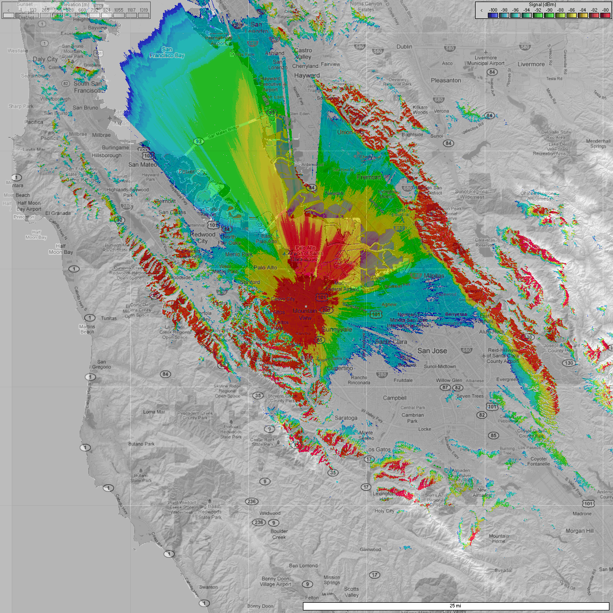
W3XSC Coverage
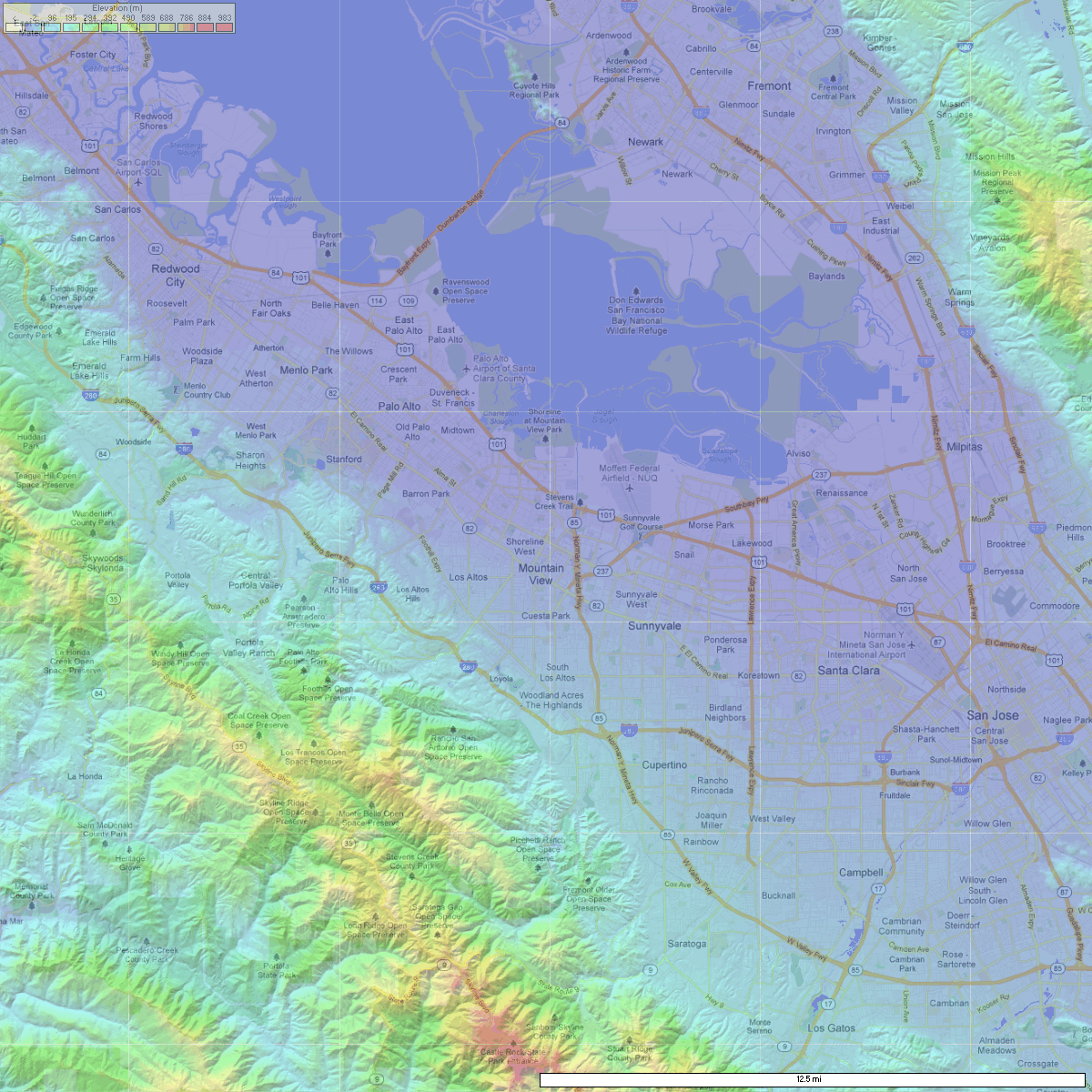
W3XSC is located on a tall building in Palo Alto. It covers the northwestern part of the county where W1XSC and W2XSC coverage is lacking. It also has spotty coverage in the eastern and western foothills. Click the maps for higher resolution.
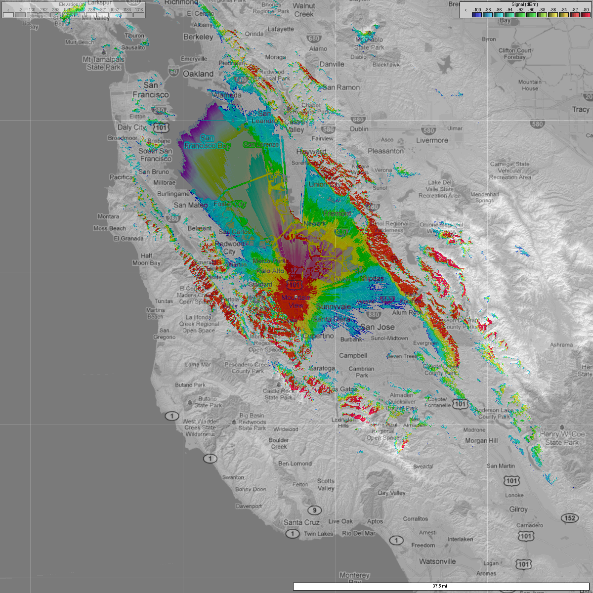
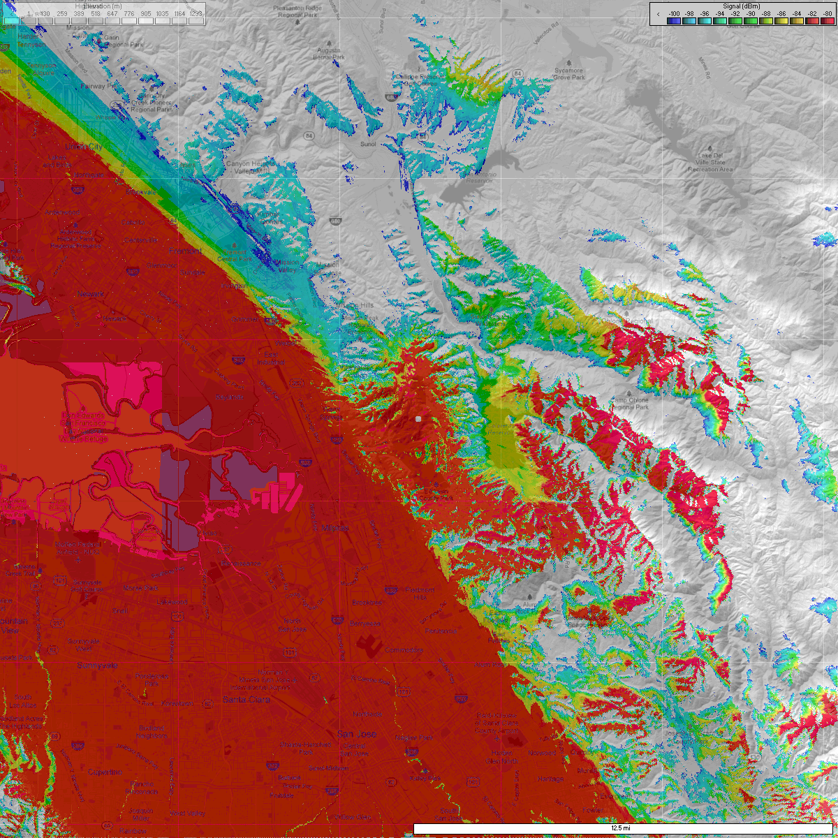
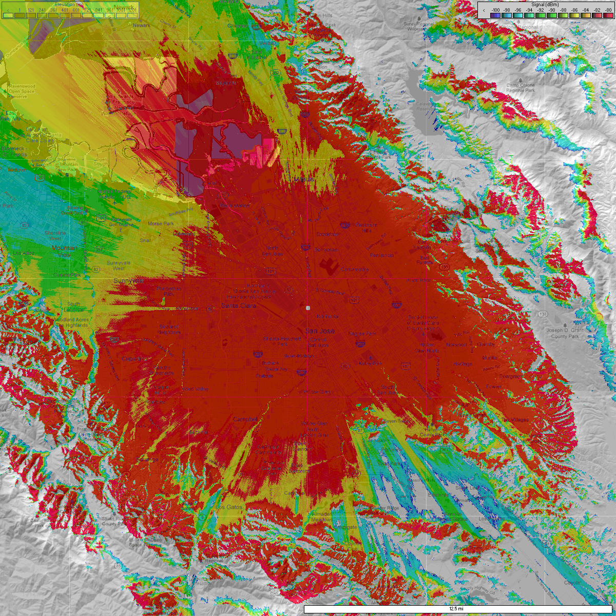
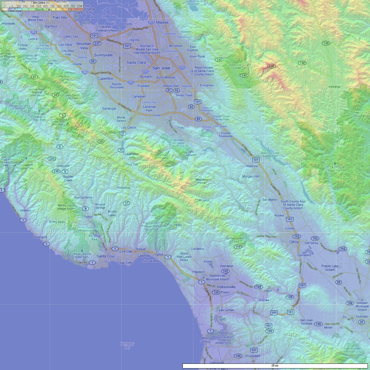
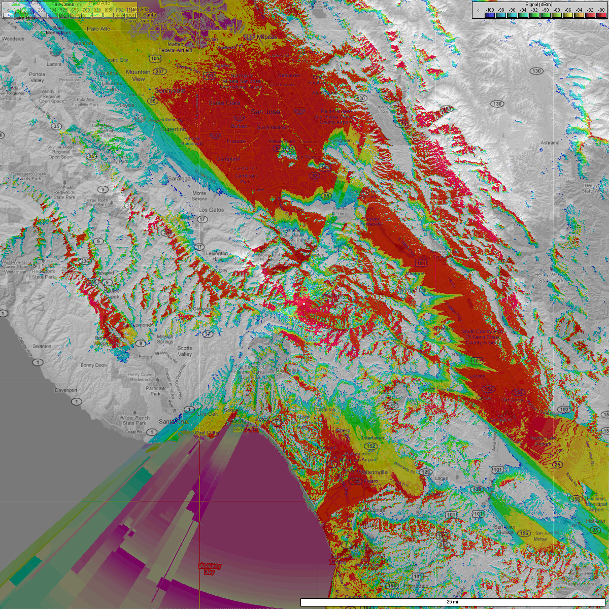
W4XSC Coverage
W4XSC is located on Frazier Peak east of Milpitas. It has good coverage of the entire Santa Clara Valley and the western foothills, but it does not extend into the 101 corridor south of Evergreen. Click the maps for higher resolution.